HOUSING & REAL ESTATE IN CHARLESTON, BERKELEY AND DORCHESTER COUNTIES
The weapons station’s JBWS Charleston Homes, professionally managed by Balfour Beatty Communities, offers a wealth of benefits that are hard to match beyond the gates. With exclusive amenities and 24/7 management and maintenance services, you’ll discover what it means to be “home.” JBWS Charleston Homes welcomes you Monday through Friday from 8 a.m. to 5 p.m. (extended hours to 7 p.m. on Wednesday), Saturday from 10 a.m. to 4 p.m. and Sunday from noon to 4 p.m. Your new home is waiting — contact 843-797-5631 or visit online at www.jbwscharlestonhomes.com today to schedule a tour.
The air base’s JBC Family Housing, professionally managed by Hunt Military Communities, also offers a wealth of benefits. Walkable, quiet neighborhoods are close to parks, tot lots, a child development center and more. Other amenities include 24/7 maintenance services and free utilities. For more information or to schedule a tour, call 843-552-0600 or visit www.jbcharlestonfamilyhousing.com.
The combination of a lower cost of living and abundant natural and cultural amenities in the Lowcountry counties contribute to a quality of life not often found elsewhere. In 2017, more than 400,000 people called Charleston County home, while nearly 218,000 resided in Berkeley County and 156,000 in Dorchester County, the U.S. Census Bureau says. Population density in Charleston County was 382.3 people per square mile, 161.8 in Berkeley County and 238.2 in Dorchester County.
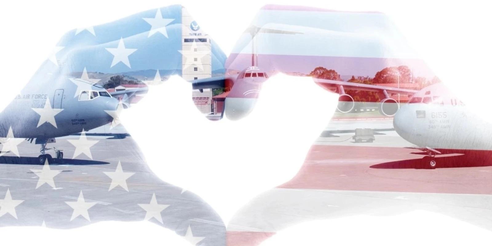
Joint Base Charleston, in Charleston County, is one of 12 Department of Defense joint bases and hosts more than 60 DOD and federal agencies. The joint base serves 90,000 active-duty, reserve and civilian personnel, family members and retirees. Many members of the base’s military workforce choose to live off base and rent or buy in the local area.
The counties’ communities give newcomers plenty of choices when selecting a home. Enlist the help of a reputable real estate agent to help you sort through the area’s home options. The Charleston Trident Association of Realtors is a central source of local real estate information and assistance. Those interested in purchasing a new home can find the expertise and professional services they need at www.charlestonrealtors.com. The state organization, the South Carolina Association of Realtors, can be found at www.screaltors.org.
CHARLESTON COUNTY
From the Santee River on the north to the blackwater Edisto to the south, Charleston County covers a little over 1,358 square miles of land and water combined, or 916 square miles of land and 442 square miles of water. It is the biggest county in South Carolina when land and water are taken together. The county sits at about the midpoint along South Carolina’s Atlantic coastline on a fine deep-water natural harbor scoured out by the juncture of the Ashley and Cooper rivers (with boosts from the Back, Stono and Wando tidewater rivers upstream) and has been a trade, commercial and cultural center since the late 1600s. A chain of islands guards the coastline.
Aside from thriving business ventures supported by the port, until World War I, Charleston County’s economy was basically agricultural, with crops suited to hot, wet conditions. The military has played a role from the times of raids by pirates, the French and the Spanish, to the Revolutionary War and British occupation, to punishing federal control after the Civil War, to an increasing presence from World War I to the present. These days the overall economy has been diversified by tourism, health care and manufacturing.
The land itself is basically flat, from sea level where the swampy coast kisses the Atlantic to a rise of only a little over 80 feet near Lincolnville, in the county’s northeast. The state’s signature palmetto trees that fringe the coast give way inland to pine, oak and cypress, and miles of sandy beaches lure locals, tourists and seabirds alike.
Berkeley County lies to the northeast and Dorchester County to the northwest. For more information, check out the website for the Charleston Metro Chamber of Commerce, established in 1773, at www.charlestonchamber.org.
Communities in Charleston County near Joint Base Charleston include Charleston, North Charleston and Mount Pleasant.
Charleston
English and Welsh settlers answered the call and promise of England’s eight Lords Proprietors in 1670 to come to their New World lands and colonize the west bank of the Ashley River; they called it “Charles Town” after their monarch, Charles II, who had awarded the lands to the eight lords. That spot proved inhospitable — near-impossible to defend and a deathbed of miasmas and fevers — and the survivors shifted their hopes to a nearby peninsula between the Ashley and Cooper rivers, a location with sea breezes and a natural deep-water port protected by barrier islands.
The settlement prospered to the point of riches thanks to seagoing commerce, trade in fur and deerskins, and its plantation crops of rice, indigo and cotton.
The Civil War left the city and region in ruins and occupied by federal forces. There was no money for new buildings so residents bootstrapped their way to repairing and restoring the old ones, making Charleston today, ironically, one of the most historically significant and picturesque of cities and a magnet for tourists. Also worth noting: In 1925, a new dance from the city’s bars and dancehalls spread nationwide — the Charleston.
Charleston’s former dependence on agriculture has been replaced by increased military activity, port traffic, growth in the medical sector and ever-more visitors. Some 6.9 million visitors came to the greater Charleston area in 2017, which had an economic impact of $7.37 billion.
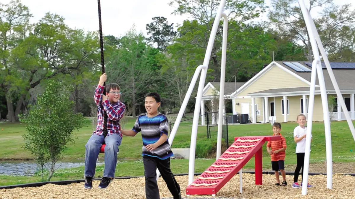
Waterfront Park is the pride of Charleston. The 8-acre park and pier borders the harbor entrance with fountains, lawns, gardens, a walking and jogging path, and a pier with picnic tables and wooden swings. It’s among 120 city parks that encompass about 1,809 acres of parks and open space. The city also maintains recreation centers, community centers, playgrounds and pools.
Charleston’s six distinct areas are the Peninsula/Downtown, West Ashley, Johns Island, James Island, Daniel Island and the Cainhoy Peninsula. The Old City occupies the original low-lying peninsula. West Ashley, James Island and part of Johns Island to the southwest, across the Ashley River, are part of the city, which has also expanded east across the Cooper River to take in Daniel Island and the Cainhoy Peninsula. Its nearly 135,000 residents on just under 109 square miles make it the second-largest city in the state.
Housing prices vary widely depending on location, age and degree of restoration (Charleston takes its history seriously; buildings and locations are priced accordingly). According to the U.S. Census, median rent is $1,052 and selected monthly owner costs of housing units with a mortgage are $1,695. Mean travel time to work for those living in Charleston is 21.9 minutes.
Several colleges and universities call Charleston home, among them The Citadel: The Military College of South Carolina; Charleston School of Law; College of Charleston; and the Medical University of South Carolina.
North Charleston
North Charleston owes its existence to Charleston’s geography and the fact that its own location has been a commercial corridor since Tidewater Indians carried their trading goods to and fro on their Broad Path along the Ashley River.
As it turns out, the Ashley and Cooper rivers that created Charleston also constrained its growth, and by the early 20th century Charleston business leaders were mulling where they could put more industrial, military and other business ventures. They settled on land north of town, where railroad tracks had been laid in the 1800s and farming, timber and phosphate mining were longtime mainstays. The oldest neighborhood in North Charleston, Liberty Hill, was established around 1864 by freed slaves. Charleston Naval Shipyard came in 1901, followed by the General Asbestos and Rubber Co., which constructed what was then the world’s largest asbestos mill under a single roof.
As industry thrived, developers saw the need for worker housing and in 1914 started building on logged-out timberland; the first residents of what was beginning to be called “North Charleston” moved in that same year.
Civic leaders who struggled unsuccessfully to incorporate three times finally succeeded in 1972 by creating a “seed city” of four precincts whose voters wanted to incorporate. Over time, that seed city annexed the rest of the north area — including the naval base, the Air Force base and Charleston International Airport — to become, by December 1972, the fourth-largest city in the state.
Today, North Charleston is the region’s shopping hub and at more than $6 billion annually, leads the state in retail sales.
The city is dotted with parks, green spaces and waterways, including Riverfront Park with its meadow, magnificent oak trees, Cooper River vistas and Performance Pavilion; the Park Circle Butterfly Garden; and four public pools.
North Charleston lies directly north and east of Charleston and surrounds Joint Base Charleston. The city’s 73.19 square miles are home to nearly 111,000 residents; it is now the third-largest city in South Carolina.
Homes in the area range from well-established neighborhoods to brand-new housing developments. Median rent is $909 and selected monthly owner costs of housing units with a mortgage are $1,283. Mean travel time to work for those living in North Charleston is 22.8 minutes.
Charleston Southern University and Trident Technical College are institutions of higher education in North Charleston.
Mount Pleasant
The site of Mount Pleasant was originally occupied by the Sewee people. The first settlers arrived from England on July 6, 1680, under the leadership of Capt. Florentia O’Sullivan. O’Sullivan had been granted 2,340 acres, which included not only the island that bears his name, but also the land that was to become Mount Pleasant.
Strong tidal flows in Shem Creek were producing power to run rice and sawmills, small factories (including a bucket factory), modest shipyards and canneries by 1705, and more lands for plantations were cleared and planted. The King’s Highway from Virginia curved down the Carolina coast and through Mount Pleasant, one of the first coastal colonial post roads for mail delivery, and George Washington used it to visit Mount Pleasant during a Southern tour in 1791.
After the Civil War, by 1872, five small settlements along Charleston Harbor incorporated as the town of Mount Pleasant, fixing the boundaries as Shem Creek, Simmons Street, Cove Inlet and Charleston Harbor. Ferries connected Mount Pleasant to Charleston until the Grace Memorial Bridge spanning the Cooper River opened in 1929. Drivers complained that the bridge’s steep inclines, dip and sharp midway curve were like riding a giant roller coaster. A new three-lane bridge, the Pearman Bridge, minus the dips and curves, opened next to the old bridge in 1966, and the first vehicles crossed on the eight-lane Arthur Ravenel Jr. Bridge on July 16, 2005.
With new bridges easing connections between Mount Pleasant and Charleston, Mount Pleasant evolved into a comfortable suburban community. The Census counts nearly 87,000 people within the city limits that bound a little over 45 square miles. The mean travel time to work for those who live in Mount Pleasant is 22.2 minutes. Median rent in the city is $1,403, and selected monthly owner costs of housing units with a mortgage are $1,996.
On Oct. 13, 1975, the 200th birthday of the U.S. Navy, the Patriots Point Naval & Maritime Museum opened on Mount Pleasant’s Hog Island with its signature attraction, the aircraft carrier USS Yorktown.
BERKELEY COUNTY
Berkeley County’s now-you-see-it-now-you-don’t pedigree began in 1682 as Berkeley District under the British Lords Proprietors John and William Berkeley. The brothers offered English settlers attractive inducements like large land grants and religious toleration (except for atheists) to attract colonists to defend the Carolinas against Spanish attacks from Florida. The district was absorbed into the Charleston District from 1769 until 1882, when the post-Civil War Legislature resurrected it as Berkeley County.
Berkeley County covers almost 1,099 square miles. Moncks Corner, the county seat, and Goose Creek are the principal communities close to Joint Base Charleston. For more information, go to www.berkeleycountysc.gov or www.visitberkeleycounty.com.
Moncks Corner
Moncks Corner’s possible paternity is subject to dispute. Early records say it carries the name of one of the original eight Lords Proprietors, George Monck, First Duke of Albemarle, but others credit Thomas Monck, an early local landowner, for the moniker. Whatever the naming rights, the actual community had its birth around 1728 in a scattering of taverns, shops and a trading post. French Huguenots fleeing religious persecution were among the first settlers, and the Revolutionary War hero, Swamp Fox Francis Marion, whose hit-and-run guerillas made life so entertaining, and brief, for by-the-book British forces, was born near here. The Northeastern Railroad came through town right before the Civil War, in 1856, and the town reorganized itself around the train depot, which remains vital to the community in its post-train employment as a visitor’s center and gift shop.
The town was chartered Dec. 26, 1885, and incorporated itself Dec. 15, 1909. It has nearly 11,000 people on 7.29 square miles within the city limits. Median rent is $812, and selected monthly owner costs of housing units with a mortgage are $1,265. Mean travel time to work is 24.3 minutes, and Joint Base Charleston is 24 miles south.
Goose Creek
The city of Goose Creek butts up against North Charleston on its northeast side and may be named after the “gooseneck” turns in its nearby creek, a twisty tributary of the Cooper River, or, alternately, for the many geese paddling its waters. It was occupied early, by 1782, mostly by British and Welsh settlers who came after a stopover in Barbados and set down roots pell-mell in a way that defied the Lords Proprietors’ conventional intentions. By 1715, Goose Creek had become so incensed over the Lords Proprietors’ failure to defend them against Native American attacks that they begged the British government to make them a royal colony instead. The Crown agreed and took the community under the wing of British troops.
Large plantations sprang up, each dependent on slaves to raise its rice, indigo and other crops in the swampy fields. As wealthy, experienced landholders, Goose Creek residents edged to the forefront of Colonial government and, frustrated by what they saw as mistreatment by the mother country, supported the Revolution wholeheartedly.
The Civil War was a death knell for Goose Creek. Slavery ended, and with it, the planters’ wealth. By the late 1800s, most of the luxurious plantations were abandoned and desolate.
World War II changed all that. The military needed land to expand from the Charleston area, and began to invest in and occupy Goose Creek, with commercial interests and housing subdivisions in tow. The population boomed and infrastructure such as roads and fire and police service and sanitation facilities buckled under the onslaught. In 1961, civic leaders incorporated Goose Creek in an effort to address the situation. The pressure didn’t ease. In 1978, the city reorganized and the city council drafted a plan to provide efficient, cost-effective city services. Today, most of the joint base’s naval weapons station is in Goose Creek, which is 17 miles from Charleston.
Residents enjoy more than a dozen parks, a municipal swimming pool, tennis courts, and sports fields and leagues. Crowfield Golf Club is an 18-hole public golf course that wraps around the ruins of Crowfield Plantation, which dates from 1701.
According to the Census, the city’s 40 square miles are home to nearly 43,000 people. Median rent is $1,144, and median selected monthly owner costs of housing units with a mortgage are $1,270. It takes an average of 24.2 minutes to get to work every day.
DORCHESTER COUNTY
Dorchester wasn’t originally a county at all. Rather, it was the name chosen in 1696 by a group of Congregationalists for their new settlement on the Ashley River in fond memory of their former home, Dorchester, Massachusetts. Though by 1788 their townsite had been abandoned, locals continued to call it “St. George, Dorchester” after the old Anglican parish, names that lived on when the Legislature carved out Dorchester County from Colleton and Berkeley counties in 1897.
St. George became the county seat.
The county seal centers on the old bell tower of St. George’s Anglican Church, the only remaining architectural feature from the colonial town. Both the Edisto and Ashley rivers flow through the county, and the Ashley’s headwaters are there. Lumbering, cattle raising and crop production have underwritten the county’s economy since its beginning.
Dorchester County’s 573 square miles have Berkeley County to the east, Charleston County to the southeast and Colleton County to the southwest. Principal municipalities are St. George, Summerville and part of North Charleston.
For more information, go to www.dorchestercountysc.gov.
Summerville
Since 1980, Summerville has become a popular bedroom community for the Charleston area. For much of its history its population hovered at around 3,000, but today approximately 50,000 people live within its 18 square miles. Median rent is $1,027, and median selected monthly costs for housing units with a mortgage are $1,449. The average work commute is 28.5 minutes.
Even early on, it was a desirable location. By the late 1700s, Lowcountry dwellers rich enough to do so were fleeing the summer coastal swelter, mosquitoes and fevers for higher, healthier elevations like Summerville’s pine-clad ridge.
The railroad’s arrival in the early 1800s prompted the village to incorporate. Railroad workers cut down hundreds of trees to lay rails and clear lots to shift the commercial center closer to their tracks. As the town saw it, the potential blessing of more summer visitors was being threatened by loss of its signature trees. To protect its future, Summerville declared itself an official town in 1847 and passed a law that made it a crime to cut down trees of a certain size without permission. That ordinance is still on the books.
Summerville was just starting to recover from the Civil War when the 1886 Charleston earthquake shook much of the town to pieces, followed by a downtown fire that destroyed most buildings on the town square. The outlook was bleak.
But then the International Congress of Physicians meeting in Paris declared little pine-scented Summerville as one of the two best places in the world to recover from lung disorders; its pines’ turpentine odor was believed to have cleansing, healing powers. The rush was on to build inns and hotels for sudden masses of health-seekers, many of whom built winter homes there, or simply stayed year-round.
Today, Summerville is known as the “Flower Town in the Pines.” Every spring as blooms peak, Summerville hosts the Flowertown Festival, one of the biggest arts and crafts celebrations in the Southeast. More than 200 artists and craftspeople participate, and it benefits the local YMCA.
The area was among the first in the U.S. to cultivate tea plants. Summerville lays claim to being the birthplace of that Southern classic, sweet tea, though this is hotly disputed.
SHARE:
TAGS:
JOIN OUR NEWSLETTER
Get the latest news and military discounts